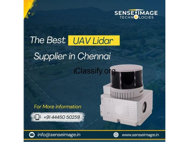
SI-260X liDAR scanning system is a UAV measurement system independently developed by Senseimage Technologies. It highly integrates laser scanner, GNSS satellite positioning system, INS inertial navigation system and camera(optional), and can quickly obtain high-precision laser point cloud number. It can be widely used in Digital city construction, Industry, Land survey,Forestry and Agriculture
Location
No: 51, Rattha Tek Meadows, Tower C, 5th Floor, Sholinganallur, OMR,
600119
Chennai
Tamil Nadu
India
13.08784, 80.27847
Get directions →